Carters Lake
Water temp
—
not monitored
Clarity
13.8 ft
Very clear
Lake level
1073 ft
USGS · live
Today
—
limited data
Each based on real access & conditions data — not opinion.
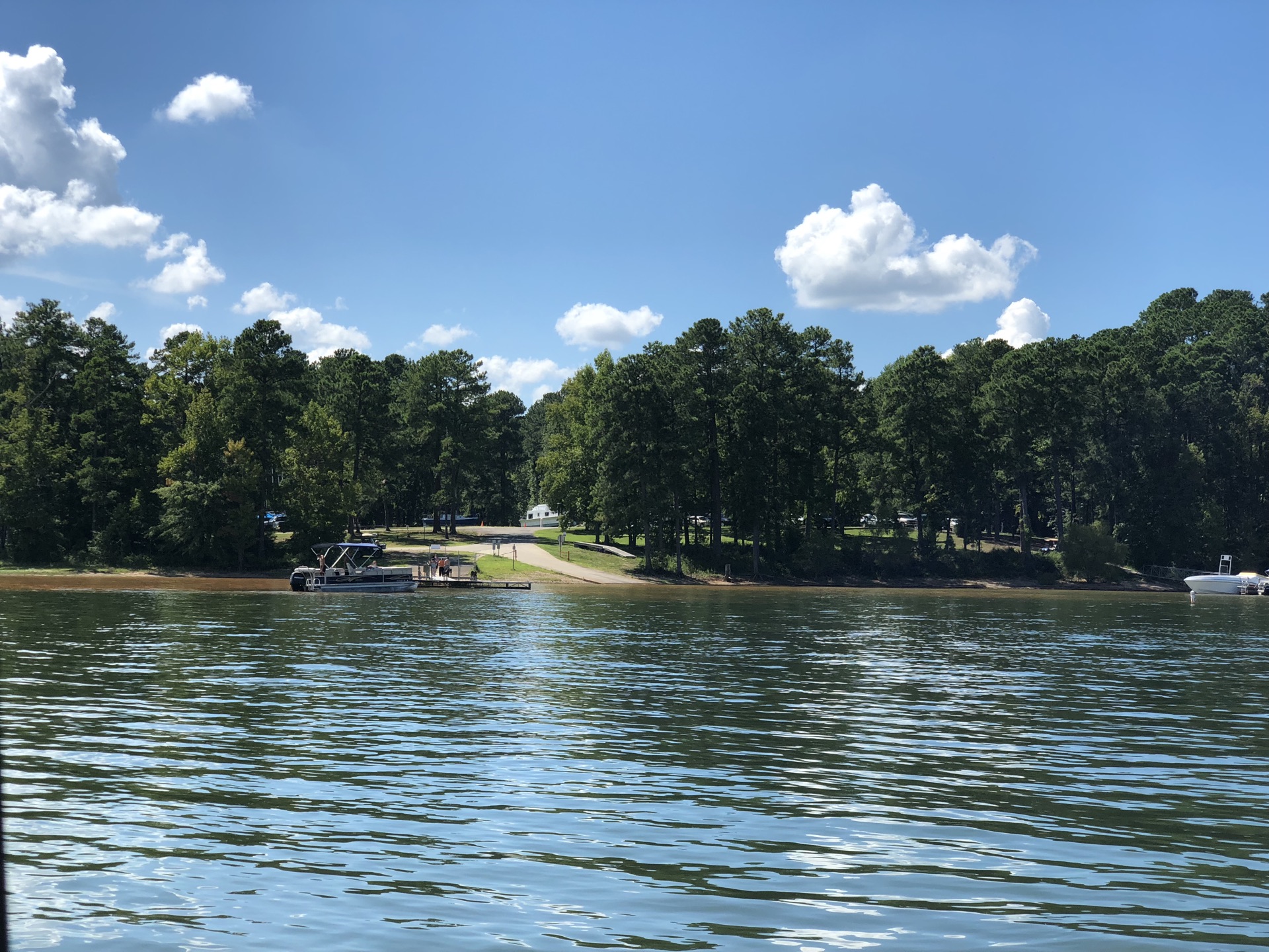
Free public access areas on Carters Lake from the Georgia DNR Wildlife Resources Division — with the facilities at each ramp.
Source: Georgia DNR Wildlife Resources Division · public boating access areas
Finding real places nearby…
Finding real places nearby…
Aggregated from trusted sources and organized around the lake — so you can plan the whole day in one place.
Deep-dive guides for Carters Lake, updated with live conditions.
Tell us what you need and we'll connect you with vetted local pros around Carters Lake — no spam, no obligation.
Compare Carters Lake with the closest lakes — distances are straight-line from Carters Lake.
Conditions on this page are pulled from public agencies. Nothing is invented — missing readings show a clear dash.
Real places near the lake, from OpenStreetMap — distance is from the nearest public ramp.
We don't have sourced stays on file for Carters Lake yet — we never invent them. Search the booking sites below.