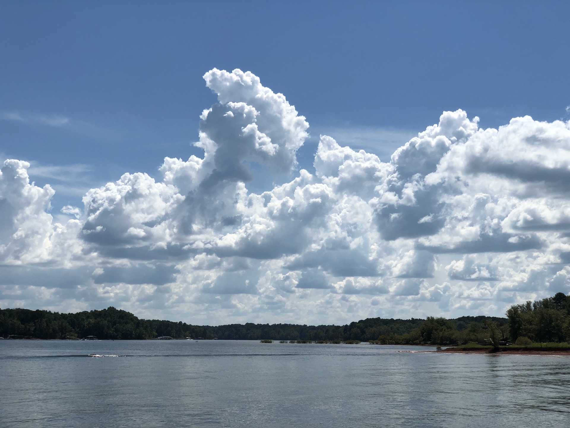
Snipatuit Pond
Water temp
—
not monitored
Clarity
18.4 ft
Very clear
Lake level
—
see operator
Today
—
limited data
Each based on real access & conditions data — not opinion.
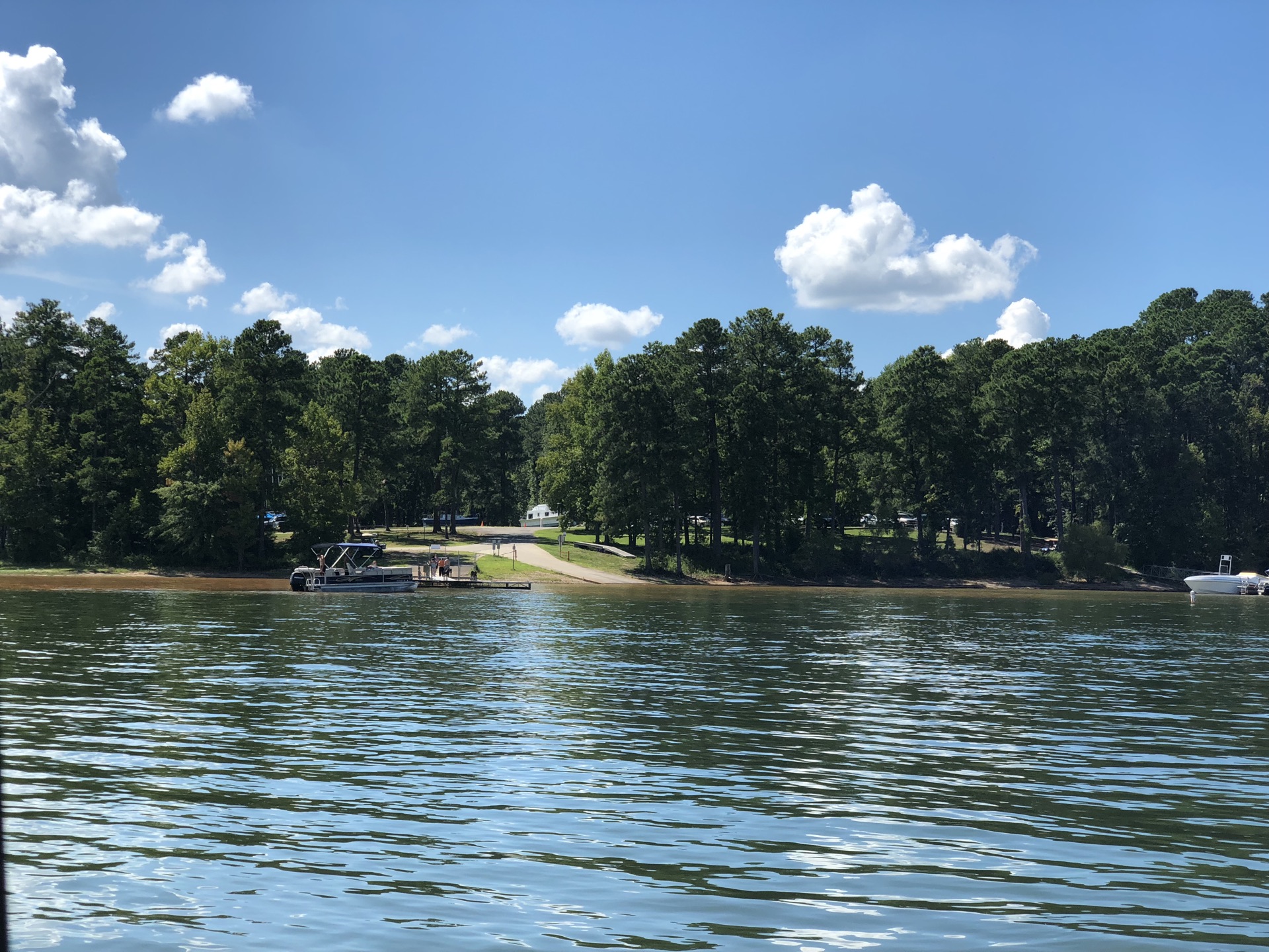
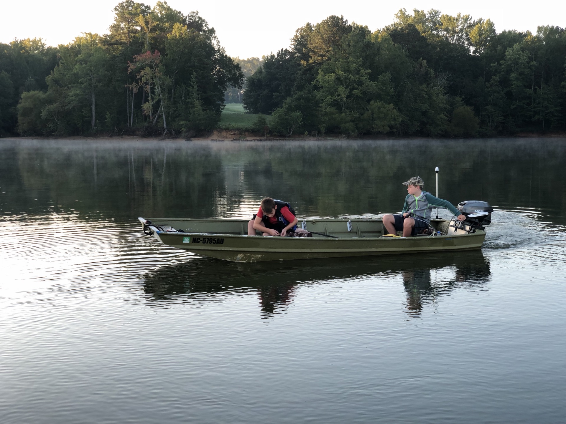
Free public access areas on Snipatuit Pond from the Massachusetts Office of Fishing & Boating Access — with the facilities at each ramp.
Source: Massachusetts Office of Fishing & Boating Access · public boating access areas
Aggregated from trusted sources and organized around the lake — so you can plan the whole day in one place.
Deep-dive guides for Snipatuit Pond, updated with live conditions.
Tell us what you need and we'll connect you with vetted local pros around Snipatuit Pond — no spam, no obligation.
Compare Snipatuit Pond with the closest lakes — distances are straight-line from Snipatuit Pond.
Conditions on this page are pulled from public agencies. Nothing is invented — missing readings show a clear dash.