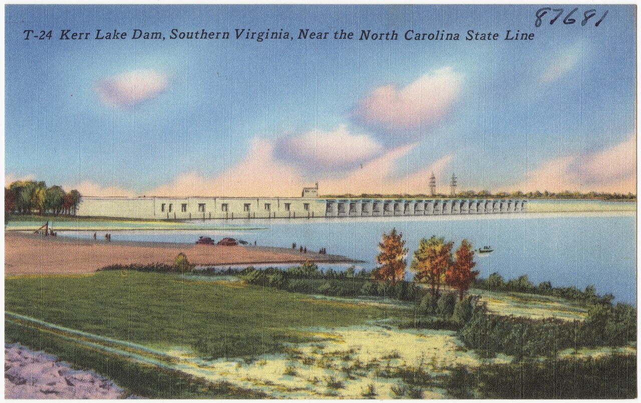
John H. Kerr Reservoir
Water temp
—
not monitored
Clarity
6.2 ft
Clear
Lake level
—
see operator
Today
—
limited data
Each based on real access & conditions data — not opinion.
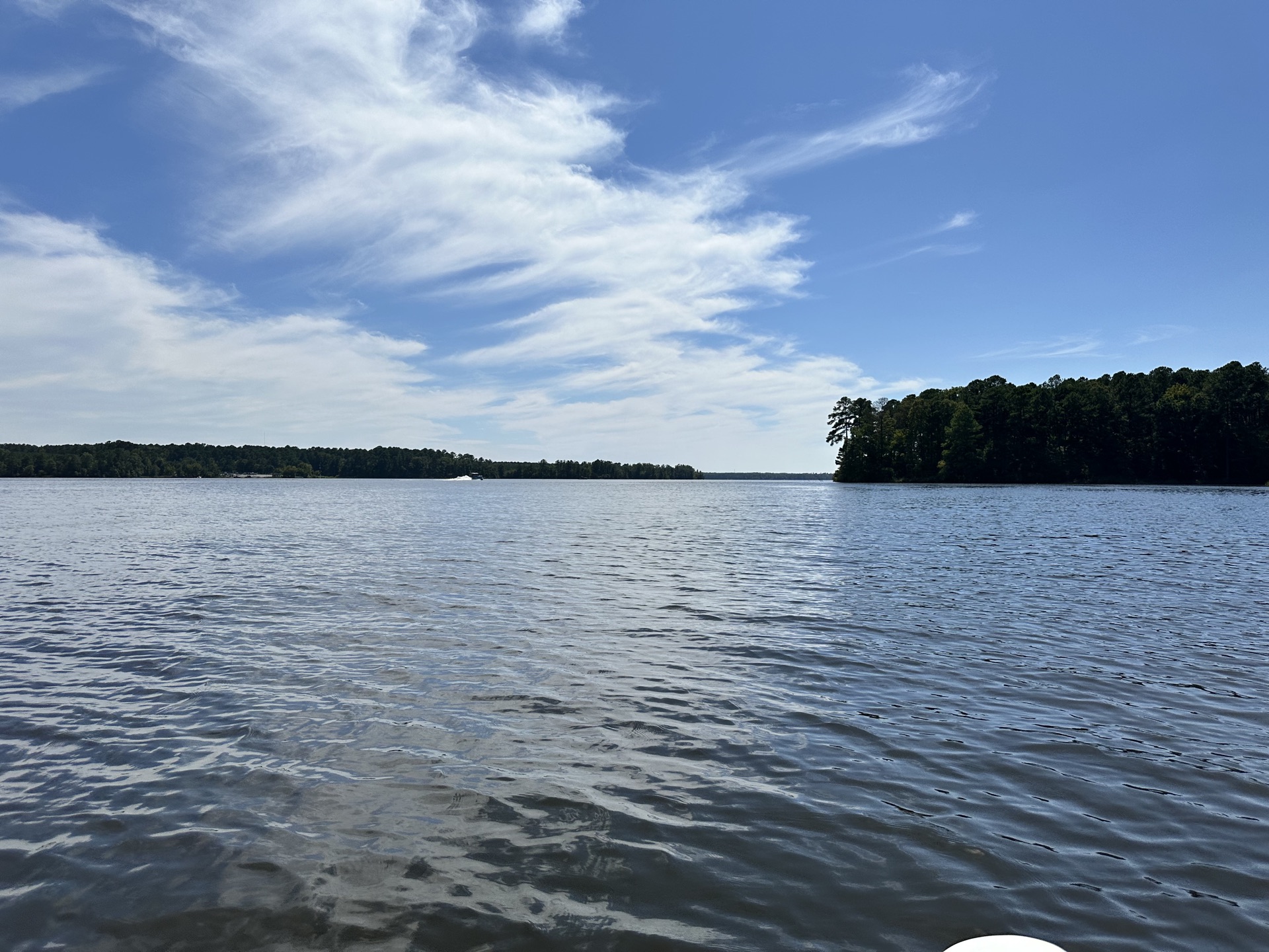
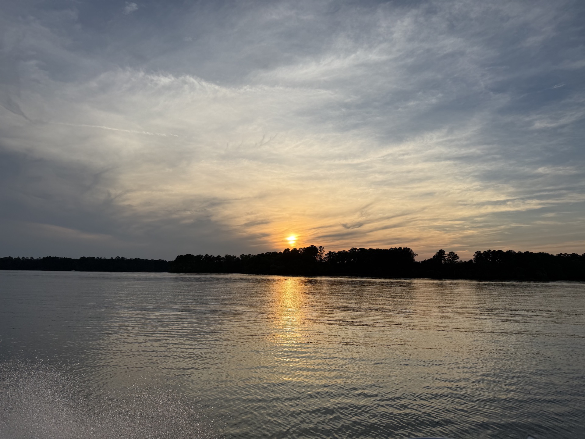
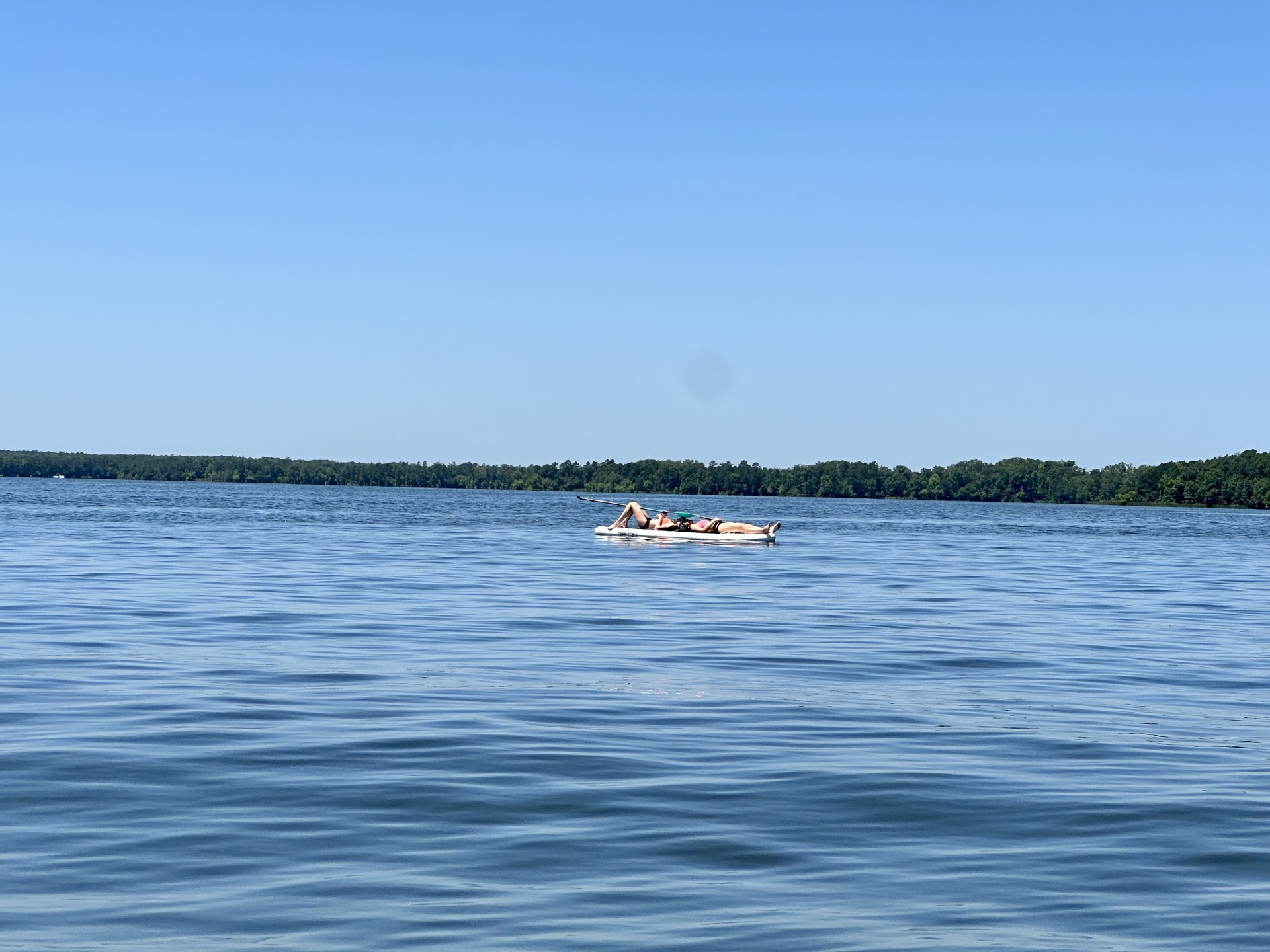
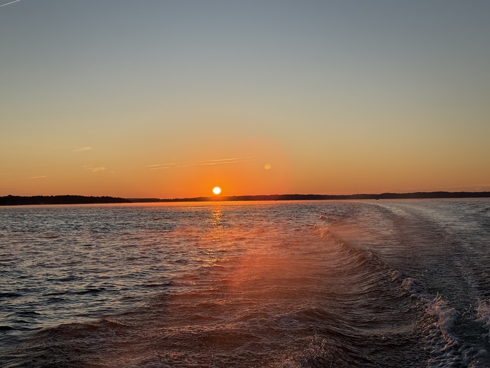
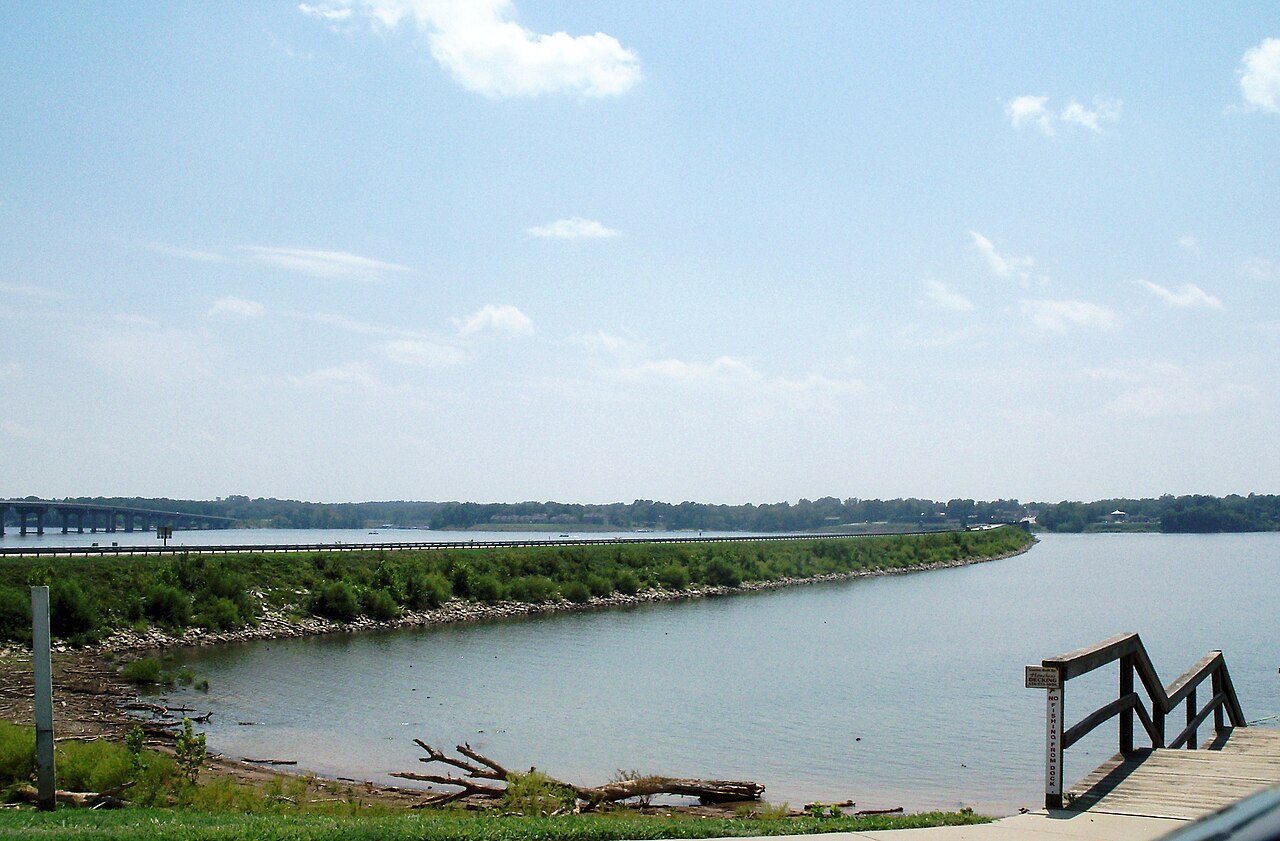
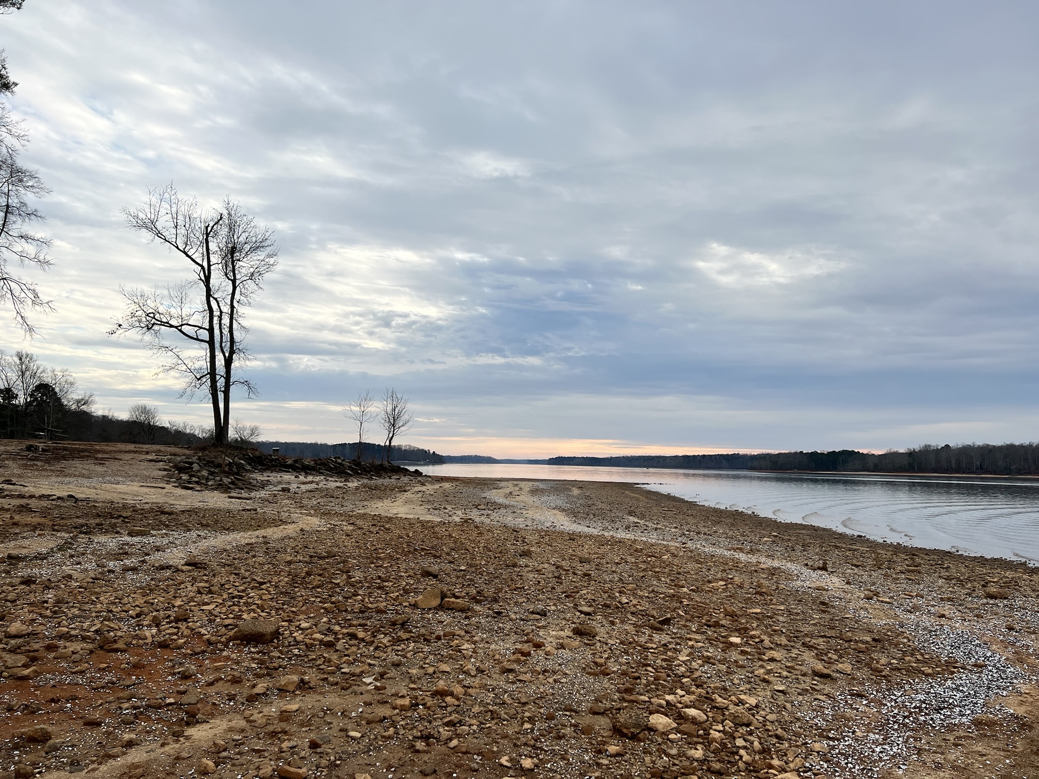
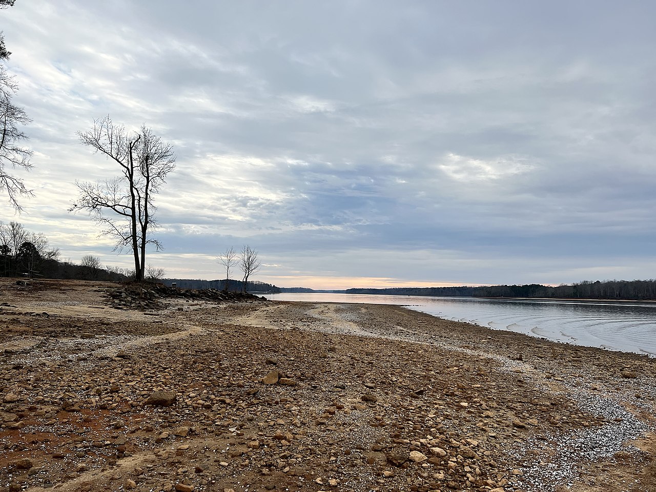
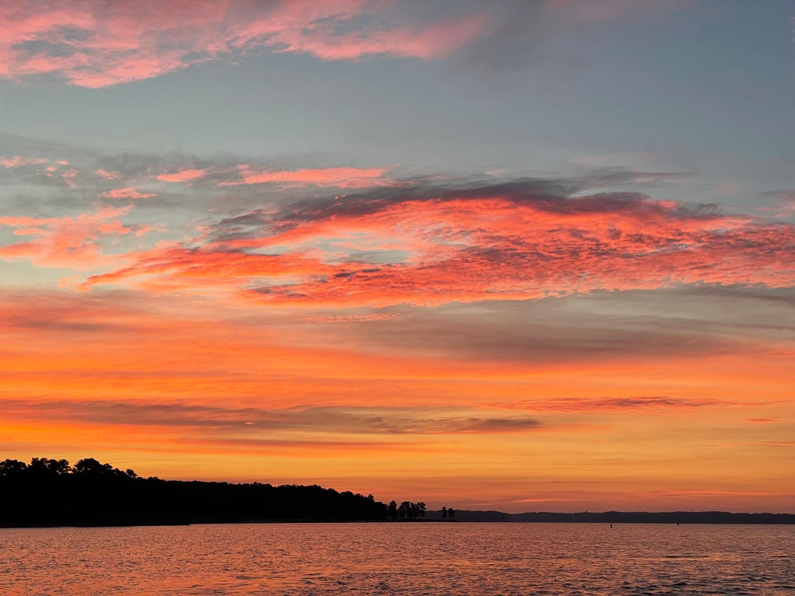
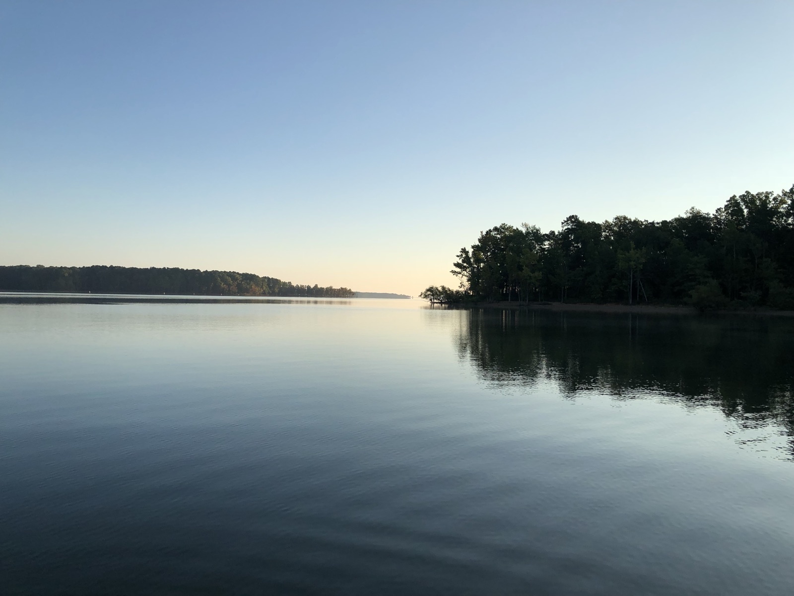
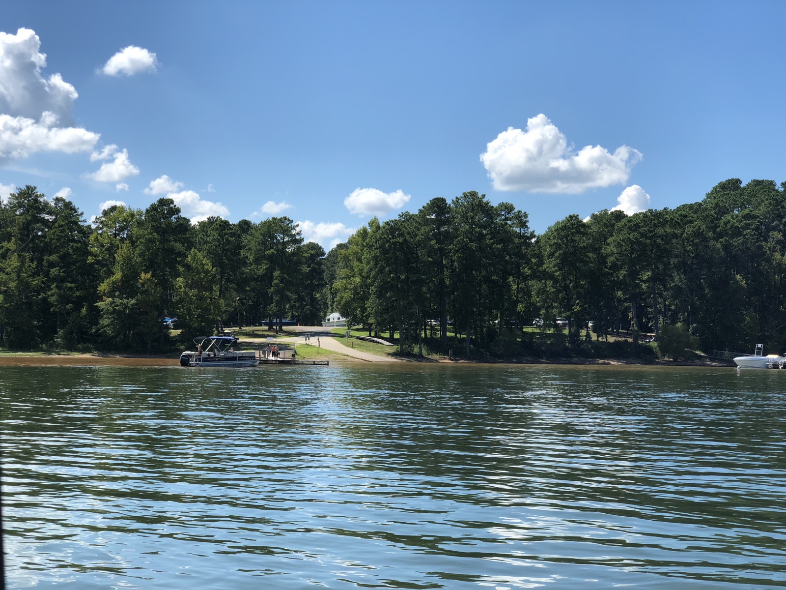
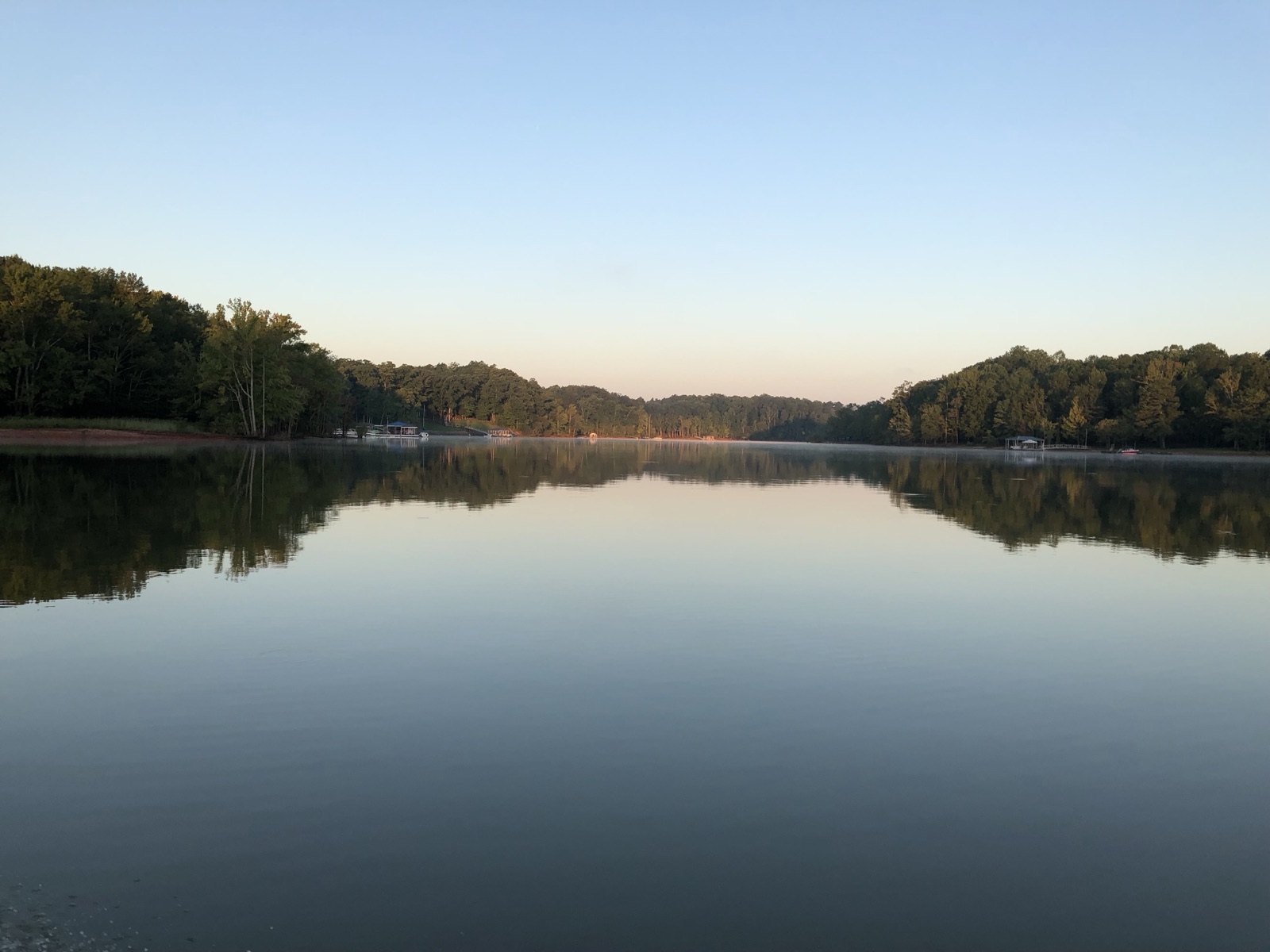
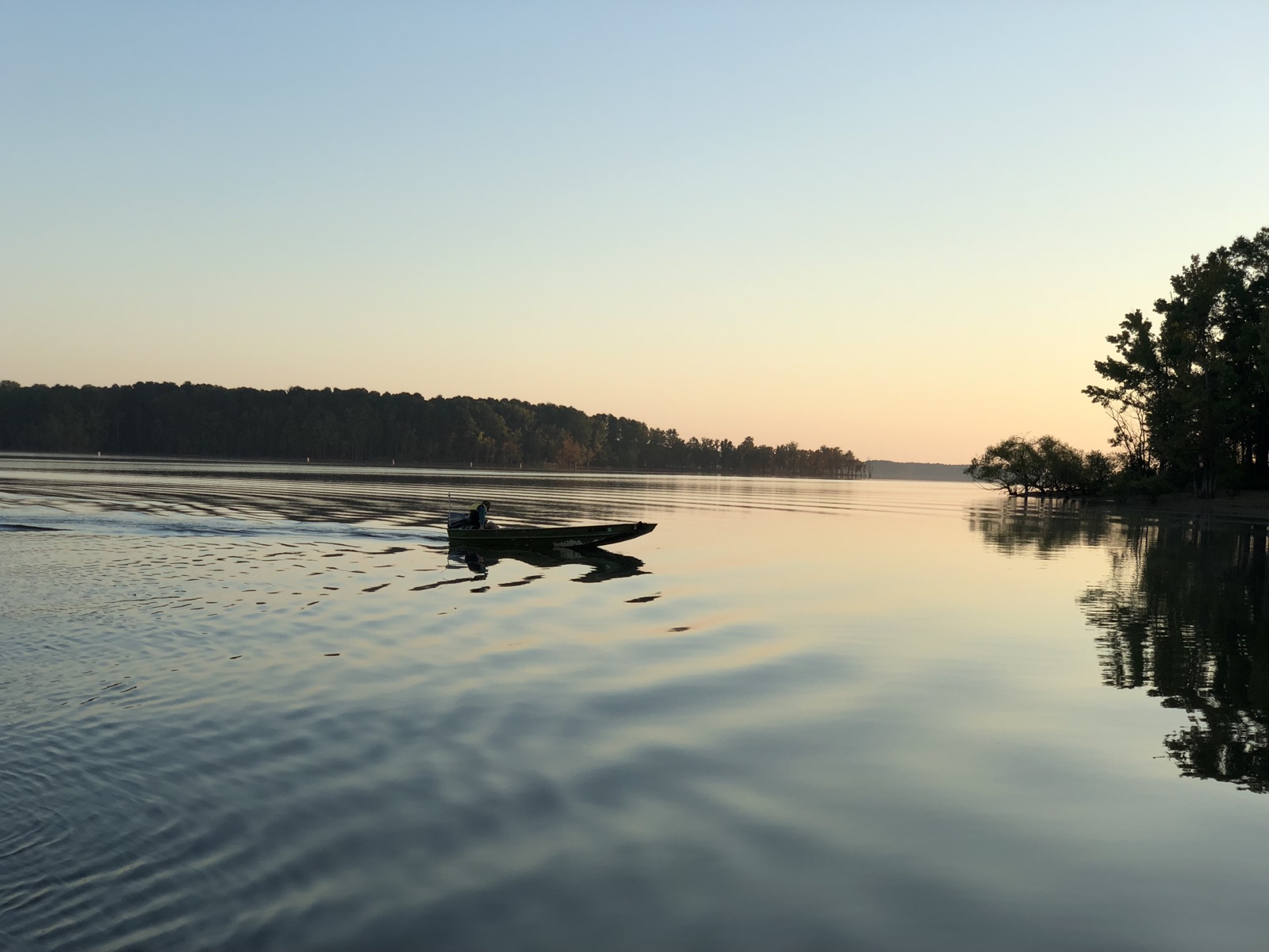
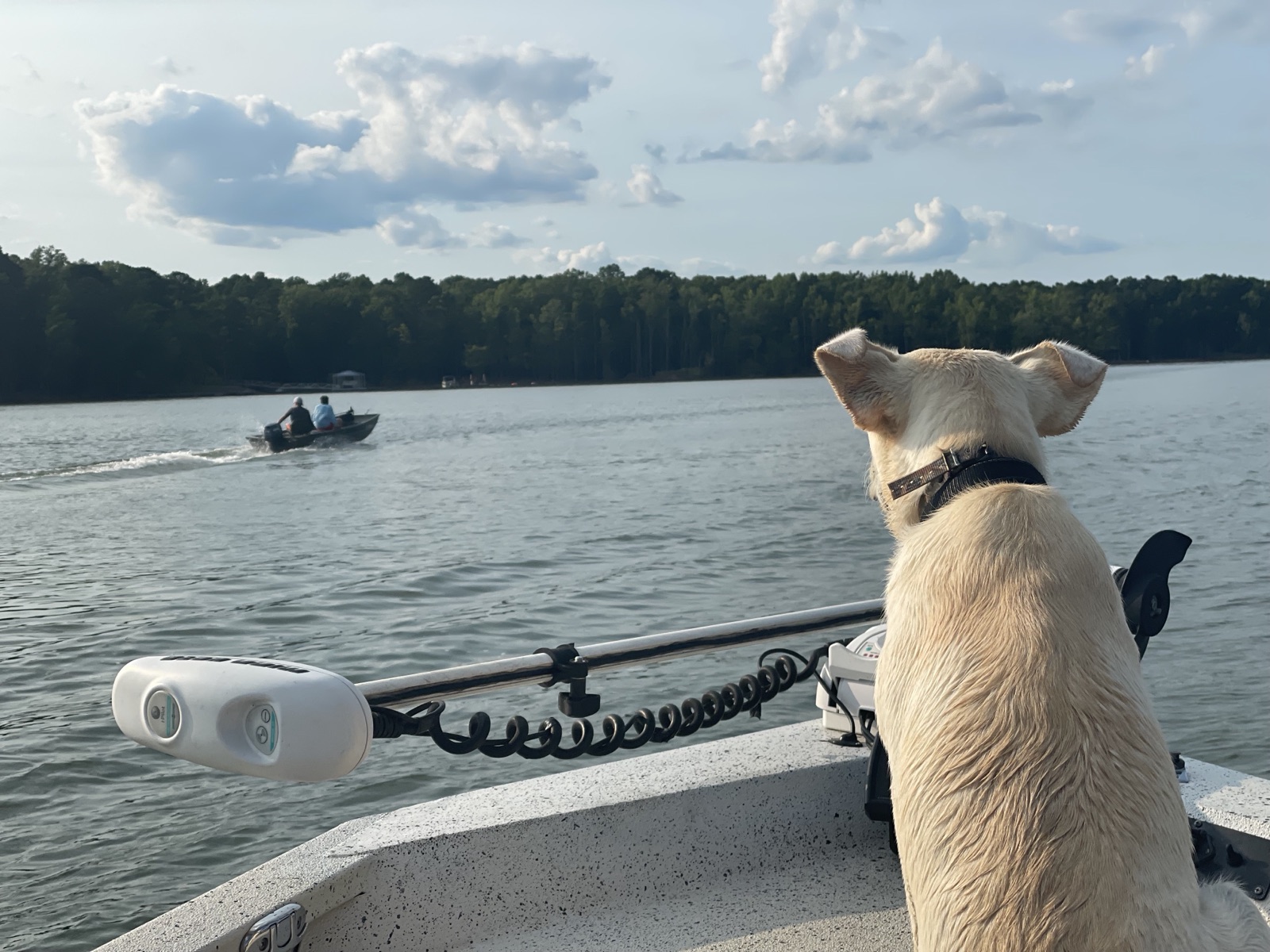
Real shots from the water at John H. Kerr Reservoir.
Free public access areas on John H. Kerr Reservoir from the NC Wildlife Resources Commission — with the facilities at each ramp.
Source: NC Wildlife Resources Commission · public boating access areas
NC Wildlife Resources Commission public fishing access & programs.
Public fishing areas: Williamsboro Wayside, Nutbush Bridge, County Line
Source: NC Wildlife Resources Commission
Finding real marinas nearby…
Finding real places nearby…
Finding real places nearby…
Aggregated from trusted sources and organized around the lake — so you can plan the whole day in one place.
Deep-dive guides for John H. Kerr Reservoir, updated with live conditions.
Tell us what you need and we'll connect you with vetted local pros around John H. Kerr Reservoir — no spam, no obligation.
Compare John H. Kerr Reservoir with the closest lakes — distances are straight-line from John H. Kerr Reservoir.
Conditions on this page are pulled from public agencies. Nothing is invented — missing readings show a clear dash.
Real marinas near the lake, from OpenStreetMap — call or visit to ask about slips & dry storage. Distance is from the nearest public ramp.
Real places near the lake, from OpenStreetMap — distance is from the nearest public ramp.
Real places near the lake, from OpenStreetMap — distance is from the nearest public ramp.